| The Davidson Trails can be accessed from various points. Good
parking can be found at the Davidson Centre. If you are walking on Durham
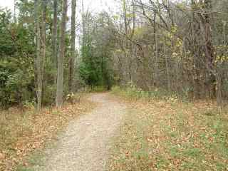
St. the trail begins just east of the bridge (B12). Walk around the gate
and beyond the playing fields into the woods at the bottom of the hill
(B14). .
|
|
|
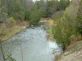 |
Follow the trail beside the Penetangore River until you
get to (B09)
The trail to the right goes up a moderate hill and splits into many
interesting loops. Ultimately you will exit at various places behind the
Davidson Centre. |
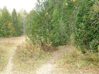
Continuing along the rivers edge the trail will split into
a loop at (B15) and come together again at (B16).
|
|
|
|
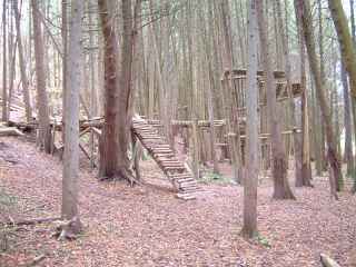
Between (B15) and (B16) on the easterly loop you will find
some interesting 'catwalks' made from the limbs of fallen trees. Follow
the trail being careful of the narrow places until you come to a gravel
roadway. Walking up the roadway will take you to the water tower and
Davidson Centre. |
 Map of Davidson Trail Map of Davidson Trail
click to enlarge |
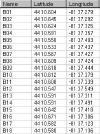
GPS Waypoint of Davidson Trail
click to enlarge |
|
Top |
|
